Summary of MnModel Tools
Phase 4 Survey Implementation Model
MnModel consists of a set of high-resolution digital maps (archaeological predictive models) alerting planners and cultural resource managers of the potential for precontact archaeological resources. These models are used by MnDOT for site avoidance and survey design. These maps were developed using a combination of Geographic Information System (GIS) and statistical modeling procedures, which allowed for the efficient, cost-effective, and repeatable generation of scientifically testable models. Because high and low site potential assignments are based on correlations between known archaeological site locations and a number of environmental variables, the models can be improved as new archaeological and environmental data become available. Consequently, MnModel is dynamic.
The version of the predictive model used by cultural resource professionals is the Survey Implementation Model. This model combines information about the potential for archaeological sites with information about how likely it is that a type of environment has been well-surveyed. Where sites are absent and few surveys have been conducted, we cannot say for certain what the potential for finding future sites might be. Consequently, these areas are classified as ‘unknown’ site potential. Archaeologists are encouraged to survey such areas to increase our knowledge about site potential in these environments.
The archaeological predictive models address the potential for surface sites. The MnModel Landscape Suitability Models, the geomorphological paleo-landscape component of the project, incorporate the third and fourth dimensions of time and buried Holocene landscapes/surfaces for areas with higher potential for buried cultural resources. These geomorphic models address the potential for archaeological site preservation at the surface and at three depths below the surface. MnDOT uses these models to determine whether subsurface archaeological survey is necessary. This is a unique aspect of MnModel that has not been previously attempted by other modeling efforts on this scale.
In addition, cultural resource professionals can consult models of the historic and prehistoric environment that were used to develop the Phase 4 predictive models. These include:
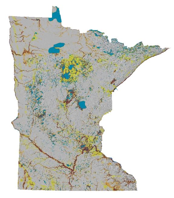
- Historic Surface Hydrography: Locations of lakes, rivers, and wetlands at the time of the General Land Office (GLO) survey in Minnesota. Lakes and some rivers were digitized directly from the GLO plat maps. Wetlands are derived from the Historic Vegetation Model.
- Prehistoric Surface Hydrography: Lakes, rivers, and floodplains assumed to have been present at some point in time since the last glaciers receded. These features are drawn from the historic hydrographic model, from geomorphic data, and from soils data.
- Historic Vegetation Model: Vegetation at the time of the GLO survey in Minnesota. The model is based on a statistical analysis of the GLO surveyors’ descriptions of vegetation at thousands of points across the state and the terrain and soils at the same points.
- Pedestrian Transportation Model: This model identifies the most likely pedestrian paths and their relative magnitudes. It is based on a ‘least-cost path’ analysis of every point in the state to every other point in the state, basing the cost of travel on the difficulty of traversing the terrain and vegetation at each location.
- Landscape Model: Statewide map of surface geomorphology compiled from MnModel, Minnesota Geological Survey, and Minnesota Department of Natural Resources source data and edited to conform to a standardized hierarchical classification system.
- Topographic Wetness Index: Statewide map of estimated potential for water accumulation based on terrain.
- Visibility: The ability to see and be seen. This map is the result of an analysis of how much of the terrain within a three-mile radius can be seen from each location on the map.