MnModel Phase 4
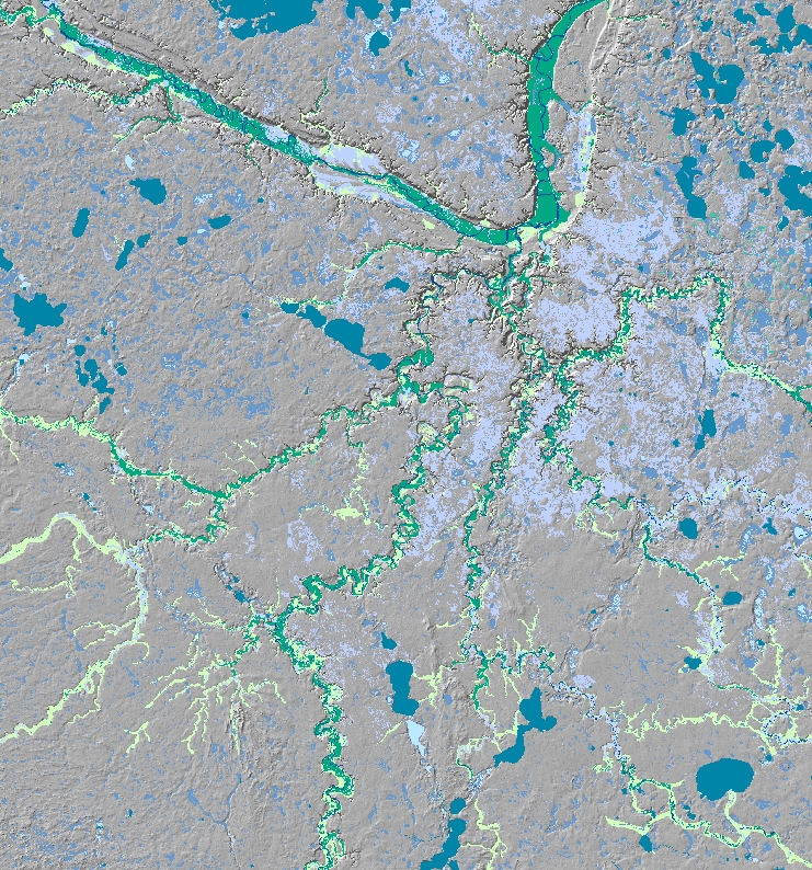
Historic surface hydrography
Phase 3 models were in use for more than 10 years. Over that time period, the archaeological database grew, more high quality, high resolution GIS data became available, and PC-based computing, GIS software, and statistical procedures improved. All of these contributed to the development of Phase 4 models that are significantly better than the Phase 3 models in several ways.
Phase 4 Goals
The purpose of Phase 4 was to improve the accuracy and reliability of the archaeological predictive models. More accurate models may be characterized by one or more of the following:
- a higher proportion of sites predicted.
- a smaller area of high and medium site potential.
- a smaller area of unknown site potential.
- greater model stability.
Phase 4 Data
Phase 4 of MnModel took advantage of better, higher resolution environmental data than were previously available. This included high resolution terrain data from LiDAR, gSSURGO soils data, geomorphic data from several sources, a high resolution model of historic vegetation, and models of historic and prehistoric surface water features. MnDOT also digitized archaeological site and survey boundaries to improve the archaeological database.
Phase 4 Research Design
Phase 4 environmental variables were based on models of historic and prehistoric environments rather than modern data. Least-cost path distances to key resources were calculated, and more importance was placed on the effects of terrain and vegetation on pedestrian transportation. Sampling techniques were developed to better represent the full environment of site and survey polygons. More robust Statistical modeling procedures were implemented and refined as well.
Phase 4 Results
Phase 4 models exceeded the performance of Phase 3 models on a number of measures. They accurately predict a larger portion of known archaeological sites than did the Phase 3 models while classifying much less land area as high potential. Consequently the occurrence of false positives is greatly reduced. Results are summarized on this site and are detailed in the MnModel Phase 4 Project Summary and Statewide Results report.