MnModel Phase 4 Goals
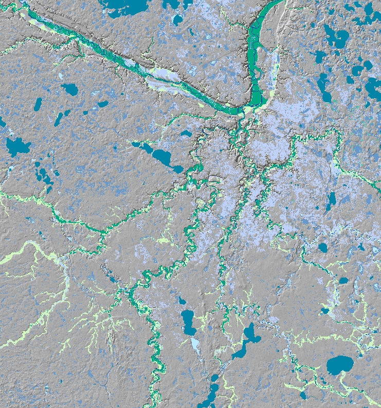
Historic surface hydrography
Since 1998, the Minnesota Department of Transportation has been using MnModel's Phase 3 predictive models to identify the potential for archaeological resources in its project areas. However, these models have known shortcomings, primarily because of deficiencies in the data used. The primary objective of Phase 4 modeling was to improve model performance through the use of better data.
MnModel has always aimed to create a series of accurate digital maps capable of alerting planners to the presence of potential precontact archaeological properties in accordance with the identification requirements set forth in Section 106. The use of the Phase 3 models allowed MnDOT and other agencies to conduct advance planning and base decisions on sound scientific findings. In addition, the digital environmental and cultural resource data developed for MnModel have contributed to streamlining of environmental reviews, planning, and other activities at MnDOT. Phase 4 updating of MnModel's data and models has not changed these activities, but should make them more effective.
Perhaps the most significant goal of Phase 4 was to improve the accuracy of the predictive models. Because of the availability of new and improved data, both environmental and archaeological, it was possible to develop better models for the entire state. We aimed for model improvements in the following areas:
- Predict a higher proportion of known archaeological sites.
- Classify a smaller portion of the state as high site potential.
- Identify a smaller area of unknown site potential.
- Provide greater model stability.
An additional goal for Phase 4 is to develop better methods for measuring model accuracy and performance.