MnModel Data
There is no doubt that the quality of the data used to create MnModel's archaeological predictive models is largely responsible for the quality of the results. Because MnModel is a composite of 20 regional models, we have had the opportunity to compare the effects of varying data quality across the state. Three factors seem critical:
- The number and distribution of archaeological sites and surveys
- The resolution of the environmental data
- The degree to which the environmental data represent this historic and prehistoric landscape.
Archaeological Data
To produce reliable, replicable predictive models, we need a large number of known archaeological site locations that are distributed throughout a region in a variety of landscapes. Where we have too few sites, the reliability of the statistical results is compromised. Where archaeological surveys have been few and are biased towards specific locations (for example lakeshores), the resulting models are unable to predict the potential for sites in other environments.
To produce better models in Phase 4, we improved our archaeological database:
- More sites were discovered since our 1995 Phase 3 database was created.
- Site locations are now more accurately mapped and are mapped as polygons rather than points.
- Many more archaeological survey polygons have been digitized, allowing us to be more certain that low site potential areas really are unlikely to contain archaeological resources.
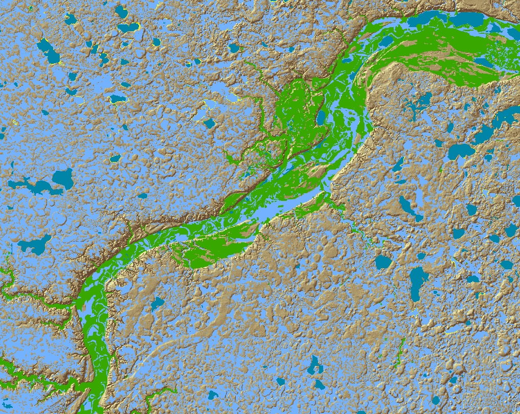
Environmental Data
Modeling depends on environmental data to represent the landscapes in which prehistoric peoples lived. Two components of the environmental data, representativeness and resolution, are key.
- Data that represent historic and prehistoric, rather than modern, landscapes are better able to predict potential for archaeological sites.
- High resolution data provide better local distinctions between site and non-site locations.
For Phase 4, we had higher resolution data for terrain, geomorphology, and soils. To better reflect the historic and prehistoric landscapes, we developed a high resolution model for historic vegetation from the General Land Office Survey records and modeled the distribution of historic and prehistoric surface hydrography.