Fun Facts
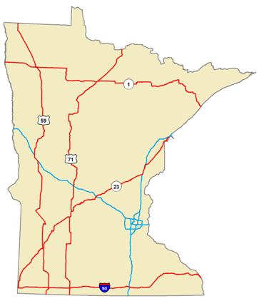
Longest Trunk Highways in Minnesota
- Interstate: I-90 is 275 miles from southwest corner to southeast corner of state
- US Highway: US-75 is 410 miles from the Minnesota-Iowa state border in south to Kittson County in north, and US-71 is 399 miles from the Minnesota-Iowa state border in south to International Falls in north
- Minnesota State Highway: MN-1 is 333 miles from Oslo in west to MN-61 on Lake Superior in east, and MN-23 is 315 miles from southwest corner of state to Duluth
Miles vs. Travel Comparison
| Route Type | Center Line Miles | Vehicle Miles Traveled (VMT) | % Miles | % VMT |
|---|---|---|---|---|
| Interstate | 913 | 10,705,095,457 | 0.6 | 20.8 |
| US Hwy | 3,220 | 8,587,324,786 | 2.3 | 16.7 |
| MN Hwy | 7,561 | 10,169,068,884 | 5.3 | 19.8 |
| County State Aid | 30,659 | 11,338,117,712 | 21.7 | 22.6 |
| County Road | 13,930 | 818,313,448 | 9.8 | 1.6 |
| Municipal State Aid | 3,734 | 3,852,700,240 | 2.6 | 7.5 |
| Municipal Street | 19,222 | 4,816,004,995 | 13.5 | 904 |
| Township | 55,518 | 1,132,403,966 | 39.1 | 2.2 |
| Other | 7,199 | 66,831,413 | 5.1 | 0.1 |
Trunk Highways (Interstate, US, and MN Hwy routes) contain only 8% of the centerline mileage in Minnesota, but they carry 58% of the annual miles of vehicle travel. By contrast, County State Aid and County Road routes contain 31% of the centerline mileage, but carry only 24% of the annual miles of vehicle travel.
The 7-County Metro Area contains only 12% of the centerline mileage in Minnesota, but it accounts for 46% of the annual miles of vehicle travel. The Greater Minnesota counties contain 88% of the centerline mileage in the state and account for 54% of the annual miles of vehicle travel.
Stretches of roadway in Minnesota with the highest traffic volume
Route Type |
Road Name |
Begin Pt |
End Pt |
AADT |
County |
City |
| Interstate | I-35W | 15.194 | 15.33 | 163413 | Hennepin | Minneapolis |
| Interstate | I-35E | 107.424 | 107.628 | 160000 | Ramsey | Saint Paul |
| US Hwy | US 212 | 156.968 | 157.647 | 88000 | Hennepin | Eden Prairie |
| US Hwy | US 10 | 234.702 | 236.336 | 86000 | Anoka | Blaine |
| US Hwy | US 169 | 125.969 | 126.356 | 84000 | Hennepin | Saint Louis Park |
| US Hwy | US 169 | 114.923 | 116.319 | 8300 | Hennepin | Bloomington |
| MN Hwy | MN 100 | 6.391 | 7.751 | 1048997 | Hennepin | Saint Louis Park |
| MN Hwy | MN 100 | 3.828 | 4.797 | 104876 | Hennepin | Saint Louis Park |
| MN Hwy | MN 100 | 4.797 | 5.976 | 104056 | Hennepin | Saint Louis Park |
| MN Hwy | MN 100 | 2.726 | 3.828 | 101598 | Hennepin | Edina |
| MN Hwy | MN 100 | 5.976 | 6.391 | 100000 | Hennepin | Saint Louis Park |
| County State Aid | CSAH 42 | 2.183 | 2.625 | 44351 | Dakota | Burnsville |
| County State Aid | CSAH 23 | 19.438 | 20.698 | 44099 | Dakota | Apple Valley |
| County State Aid | CSAH 42 | 1.728 | 2.183 | 43848 | Dakota | Burnsville |
| Municipal State Aid | Park Place Blvd | 0.428 | 0.557 | 36500 | Hennepin | Saint Louis Park |
| Municipal State Aid | Lyndale Ave S | 0 | 0.376 | 29220 | Hennepin | Minneapolis |
| Municipal State Aid | W 50th St | 0.242 | 0.574 | 27000 | Hennepin | Edina |
| County Road | County Road 45 | 10.082 | 10.214 | 13317 | Sherburne | None |
| County Road | County Road 132 | 0.952 | 1.094 | 12201 | Anoka | Blaine |
| County Road | County Road 202 | 0.093 | 0.648 | 10414 | Hennepin | Maple Grove |
| Municipal Street | Civic Center Dr NW | 0 | 0.093 | 24140 | Olmsted | Rochester |
| Municipal Street | 36th Ave N | 0 | 0.078 | 14705 | Hennepin | Robbinsdale |
| Municipal Street | Fairway Pl NW | 0 | 0.08 | 13100 | Olmsted | Rochester |
| Municipal Street | Lyndale Ave N | 0 | 0.271 | 12662 | Hennepin | Minneapolis |
| Municipal Street | Airport Rd | 0 | 0.2 | 11933 | Anoka | Blaine |