Potential improvements
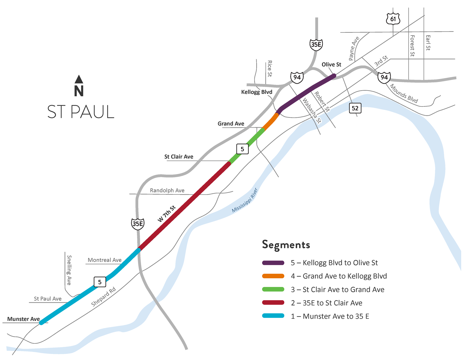
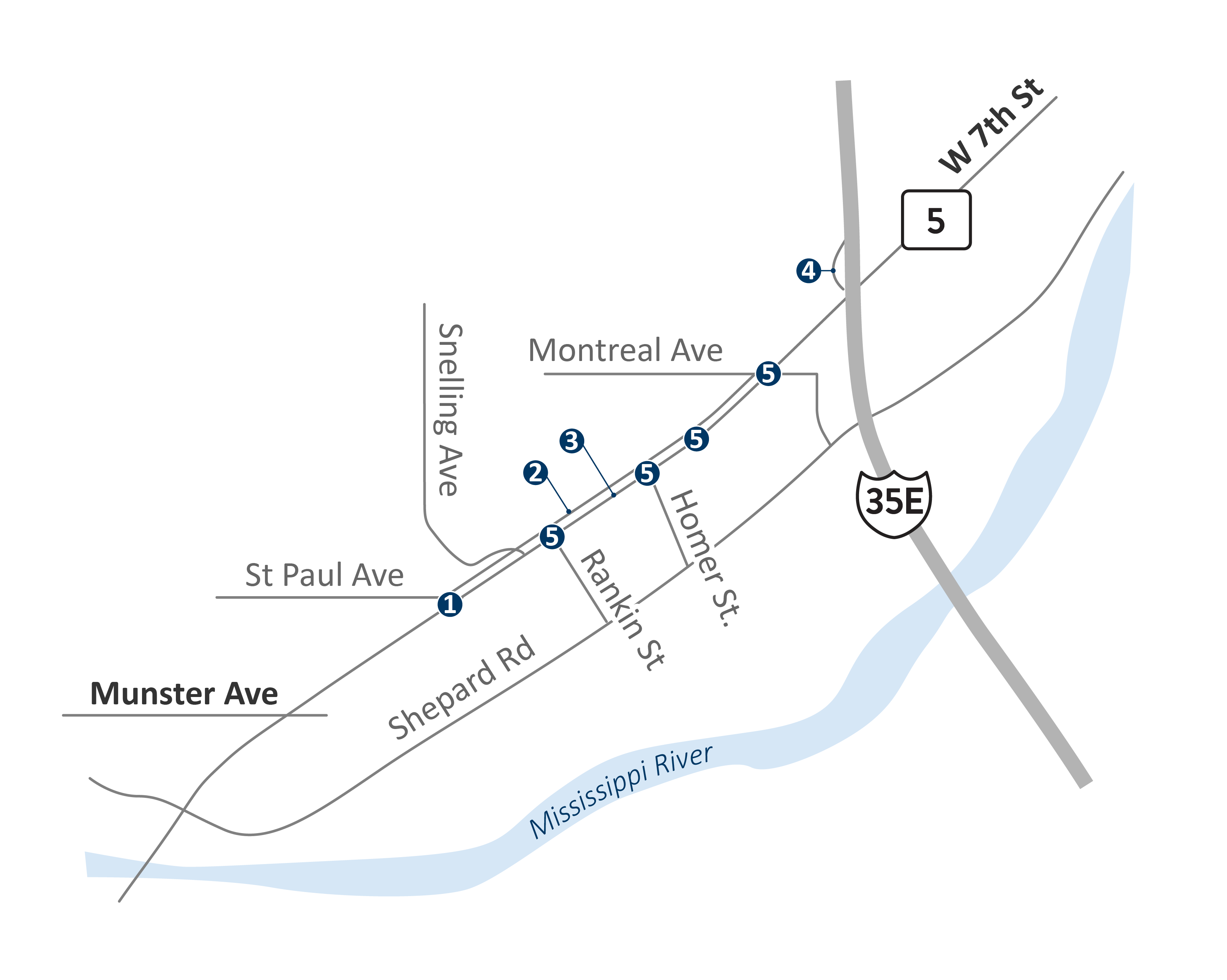
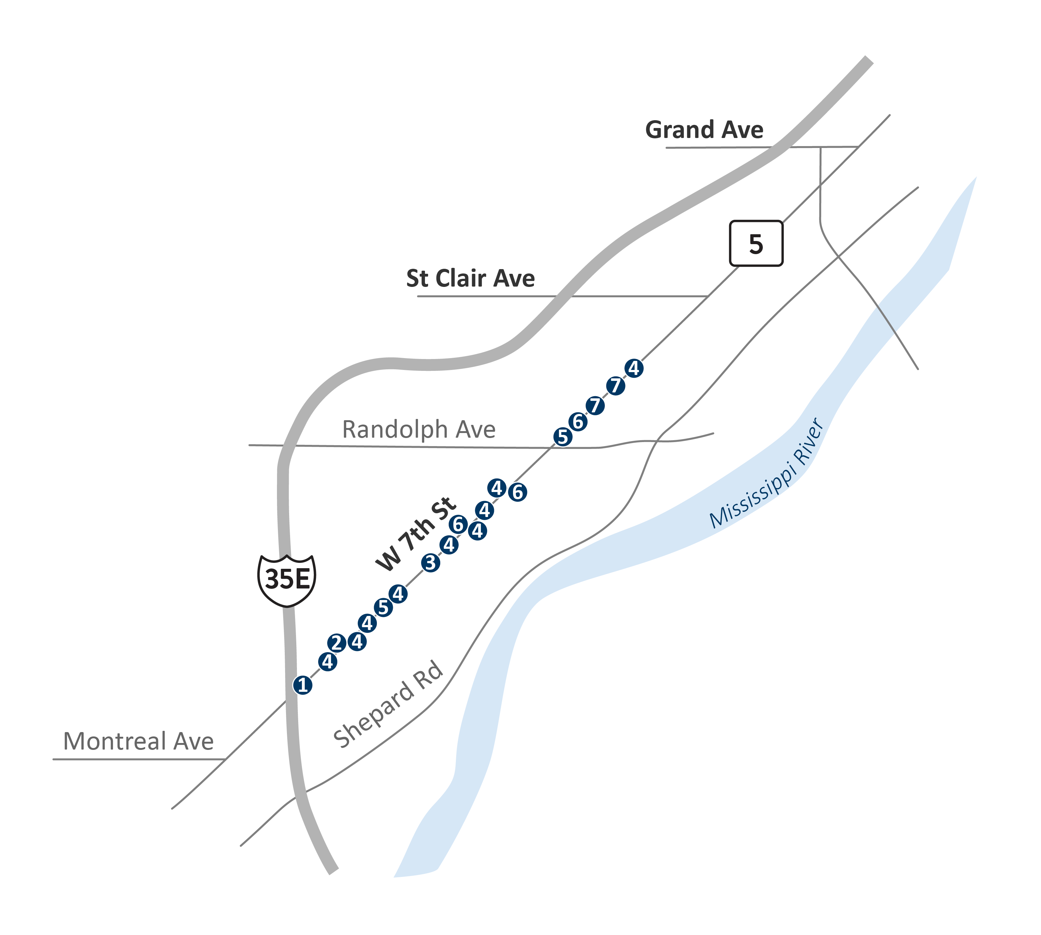
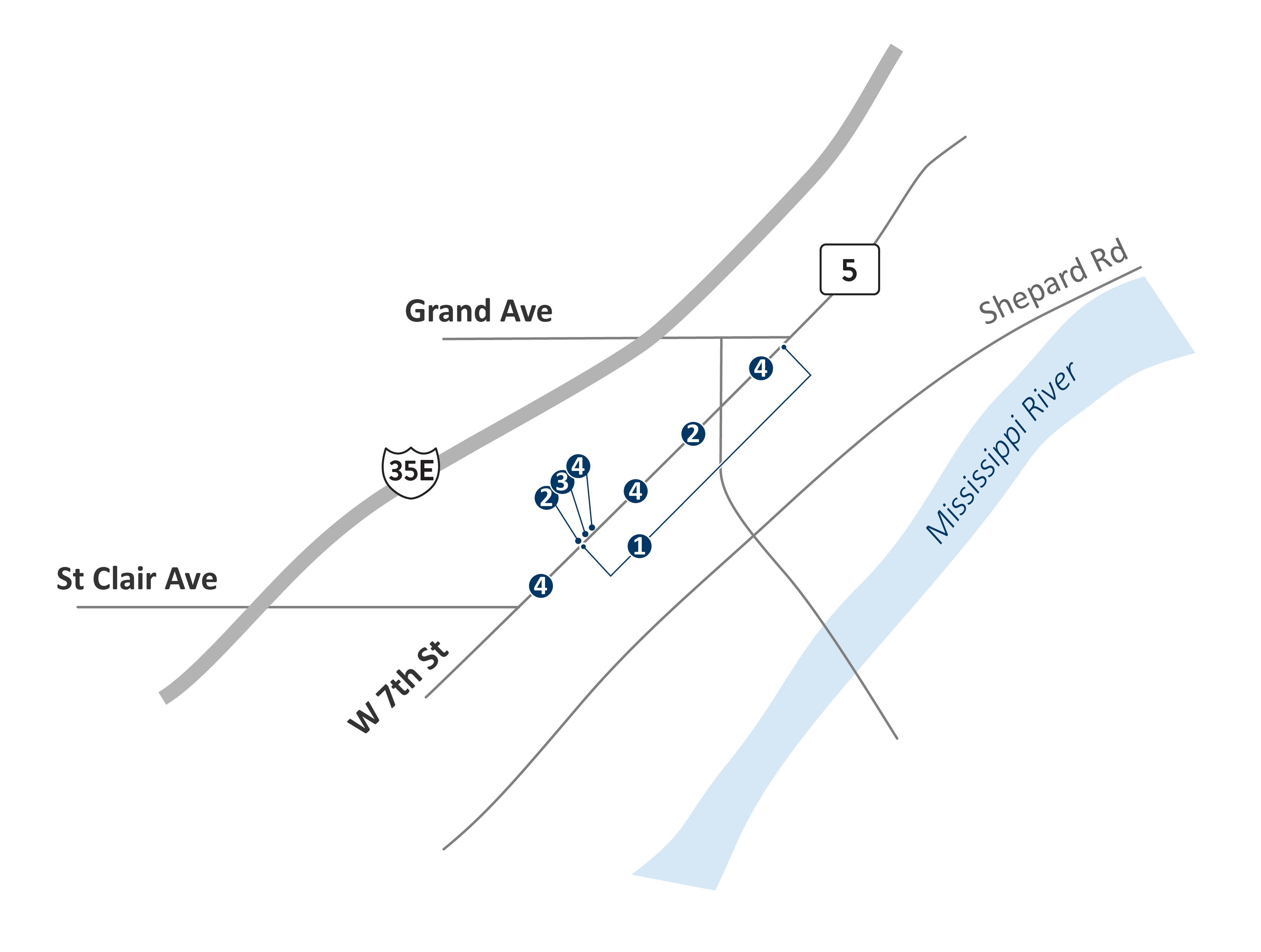
The project has been divided into five segments, which allows the analysis and evaluation of concepts to consider the unique characteristics of each segment. The segments are divided based on the existing cross section, number of lanes, safety issues, and surrounding land uses.
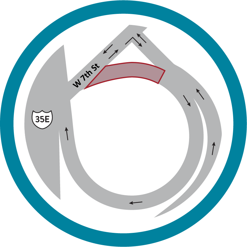
- Segment 1: Munster Ave. to I-35E
- Higher volume of traffic between Mississippi River and I-35E
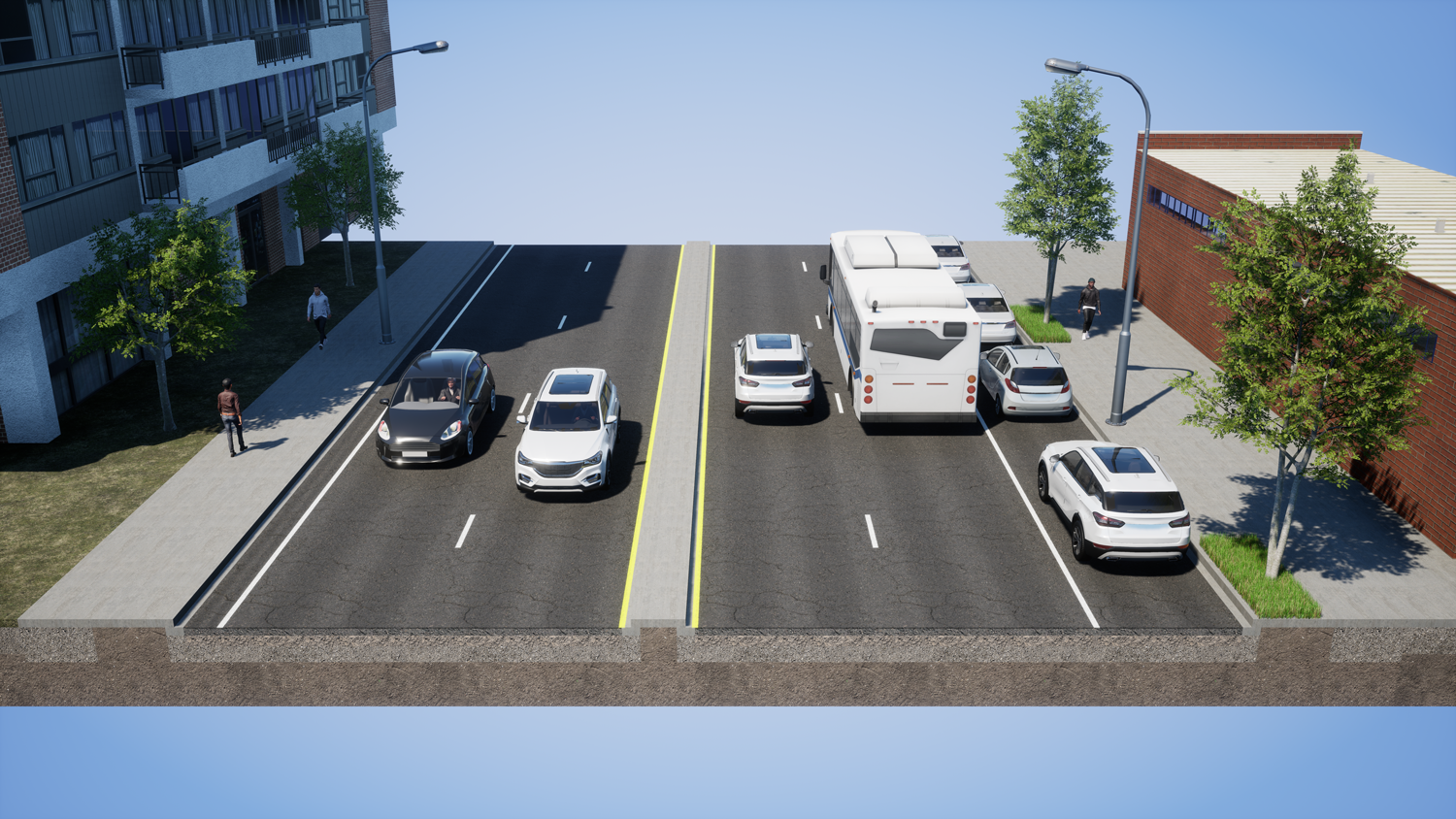
- Existing five-lane section
- Residential, commercial, industrial property mix
- Lower access point density than rest of project area
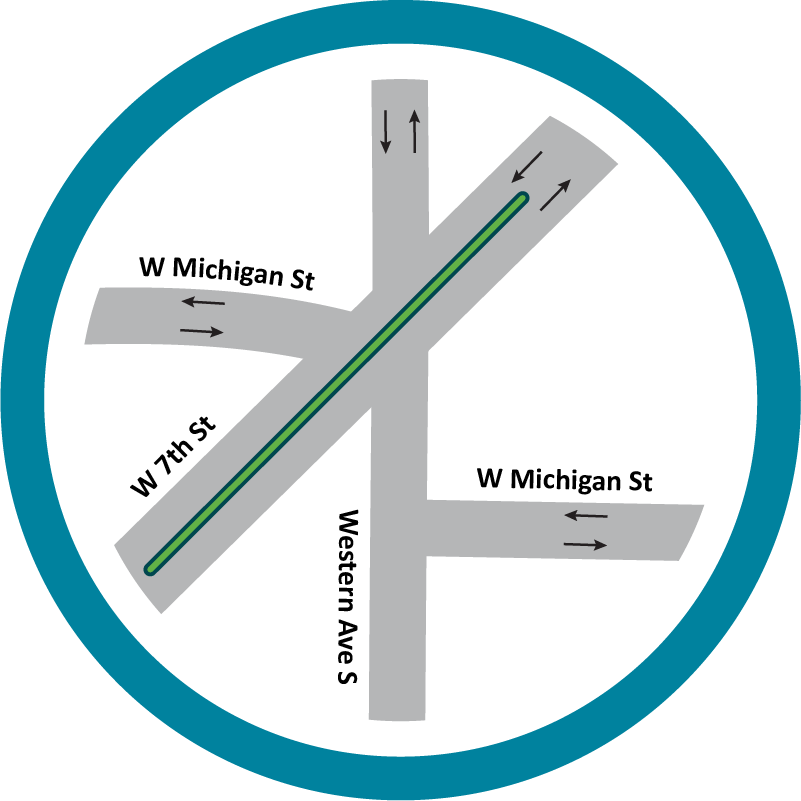
- Segment 2: I-35E to St. Clair Ave.
- Lower volume of traffic
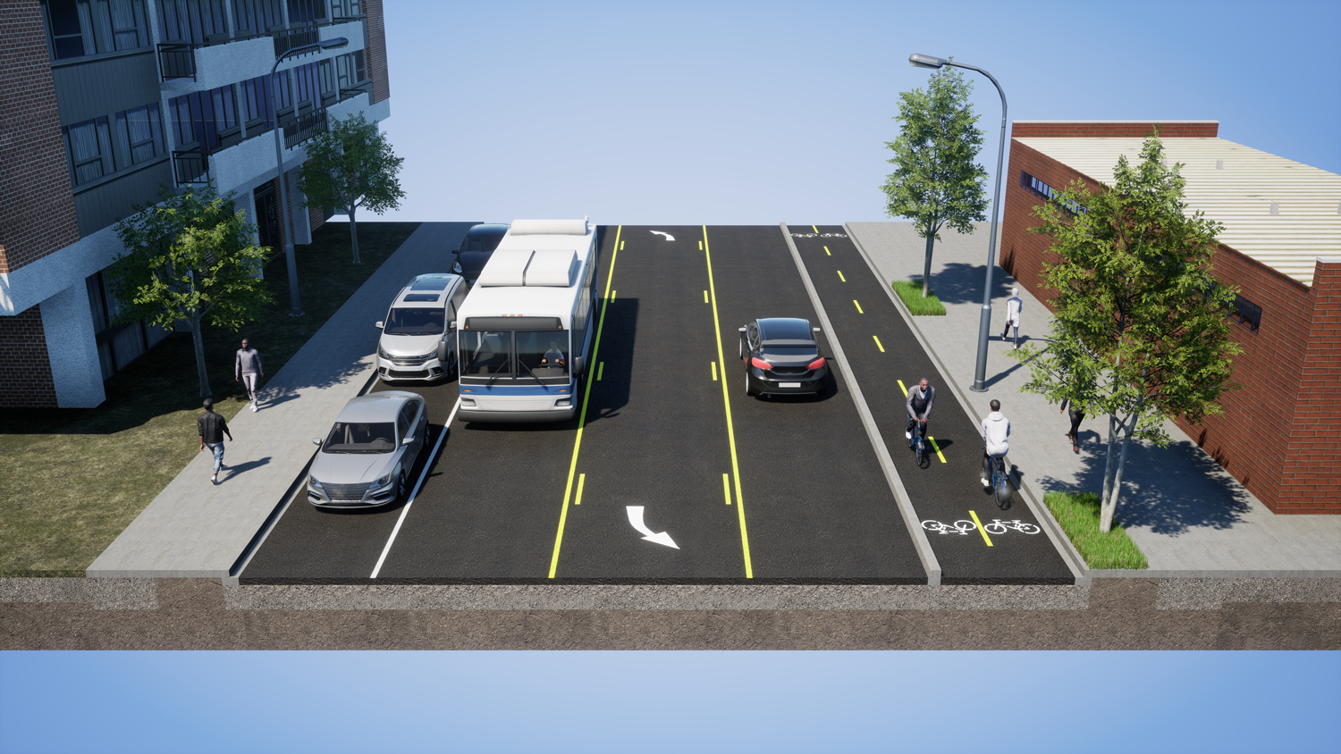
- Existing three-lane section
- Residential and neighborhood commercial property mix
- Higher access point density
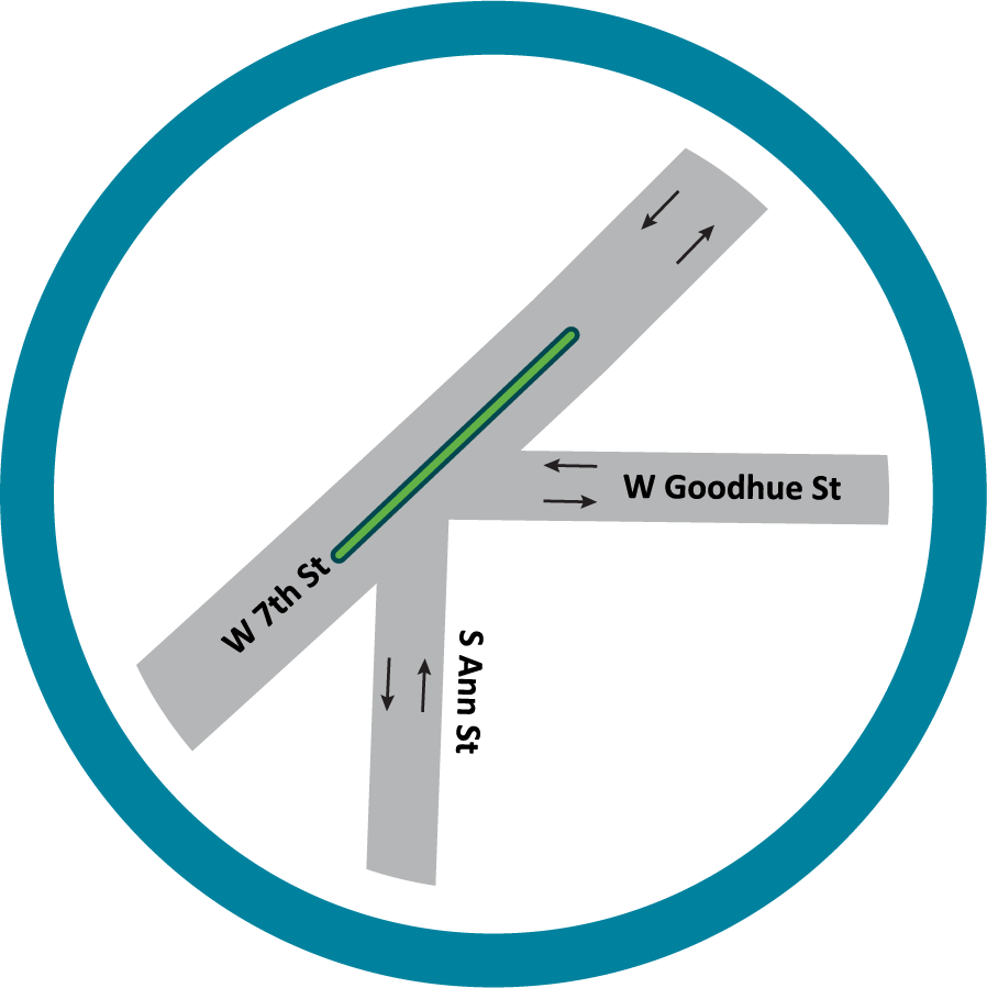
- Segment 3: St. Clair Ave. to Grand Ave.
- Lower volume of traffic
- Existing four-lane undivided section from Goodhue St. to Grand Ave.
- Residential and neighborhood commercial property mix
- Higher access point density
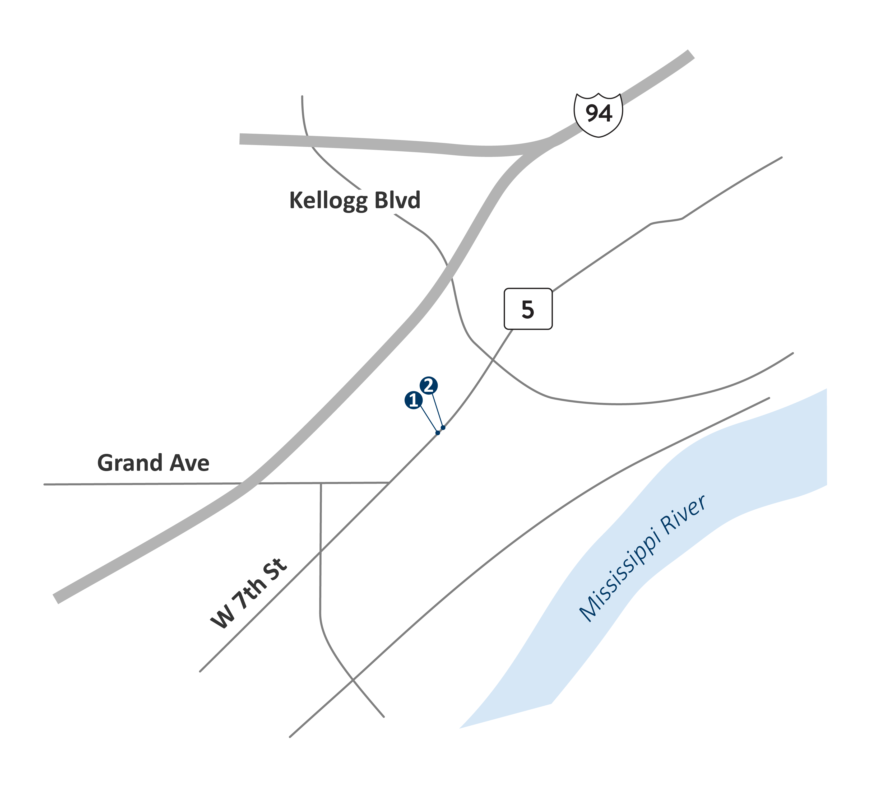
- Segment 4: Grand Ave. to Kellogg Blvd.
- Traffic volume higher than segments 2 and 3
- Existing four-lane undivided section
- Primarily commercial properties
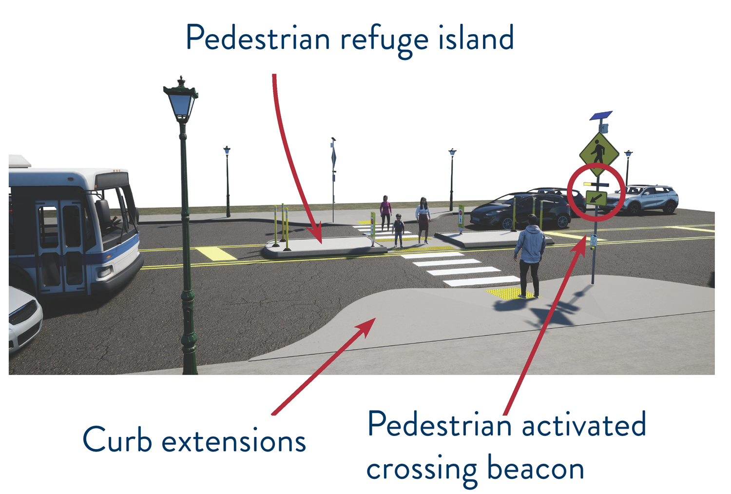
- Higher pedestrian activity
- Higher crash frequency
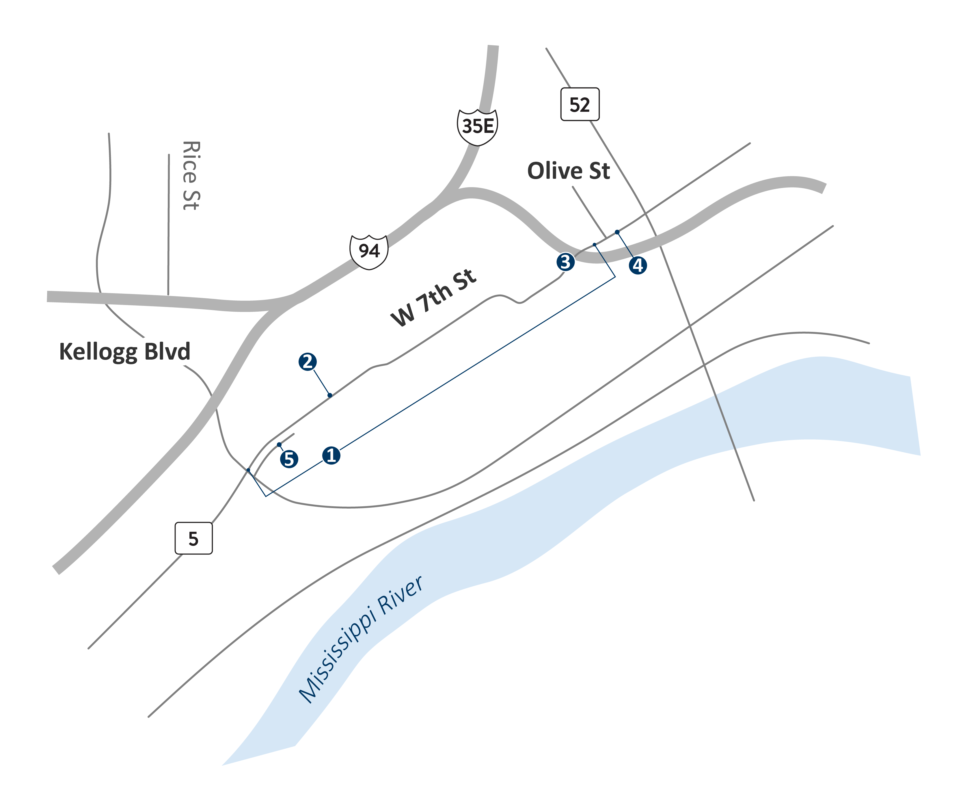
- Segment 5: Kellogg Blvd. to Olive St.
- Existing four-lane with turn lanes in Downtown St. Paul
- Many crossings and signalized intersections
- Right-of-way constraints limit potential traffic improvements
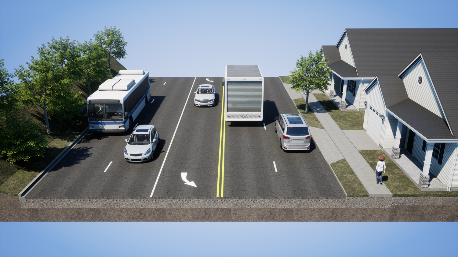
Five-lane example
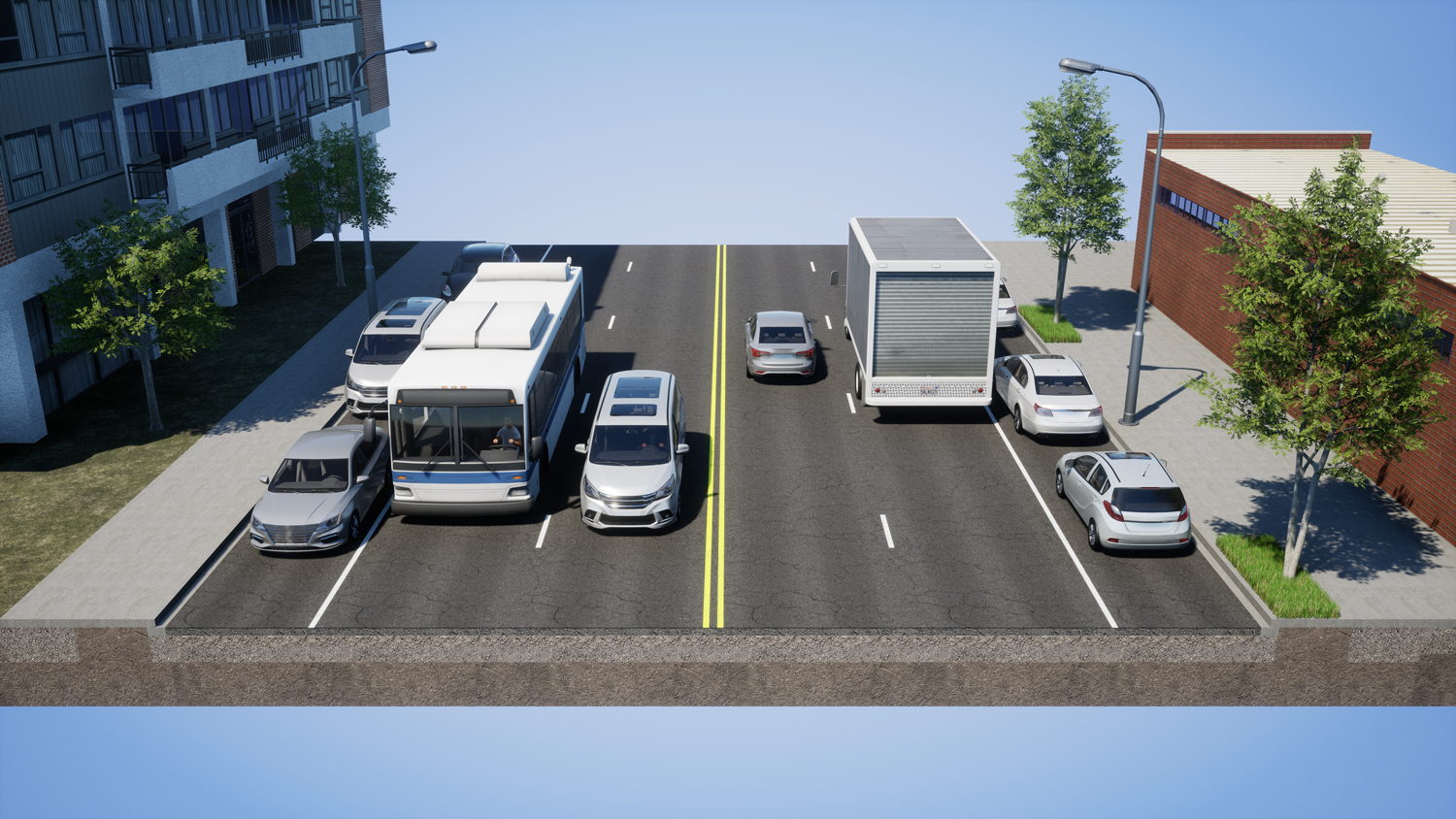
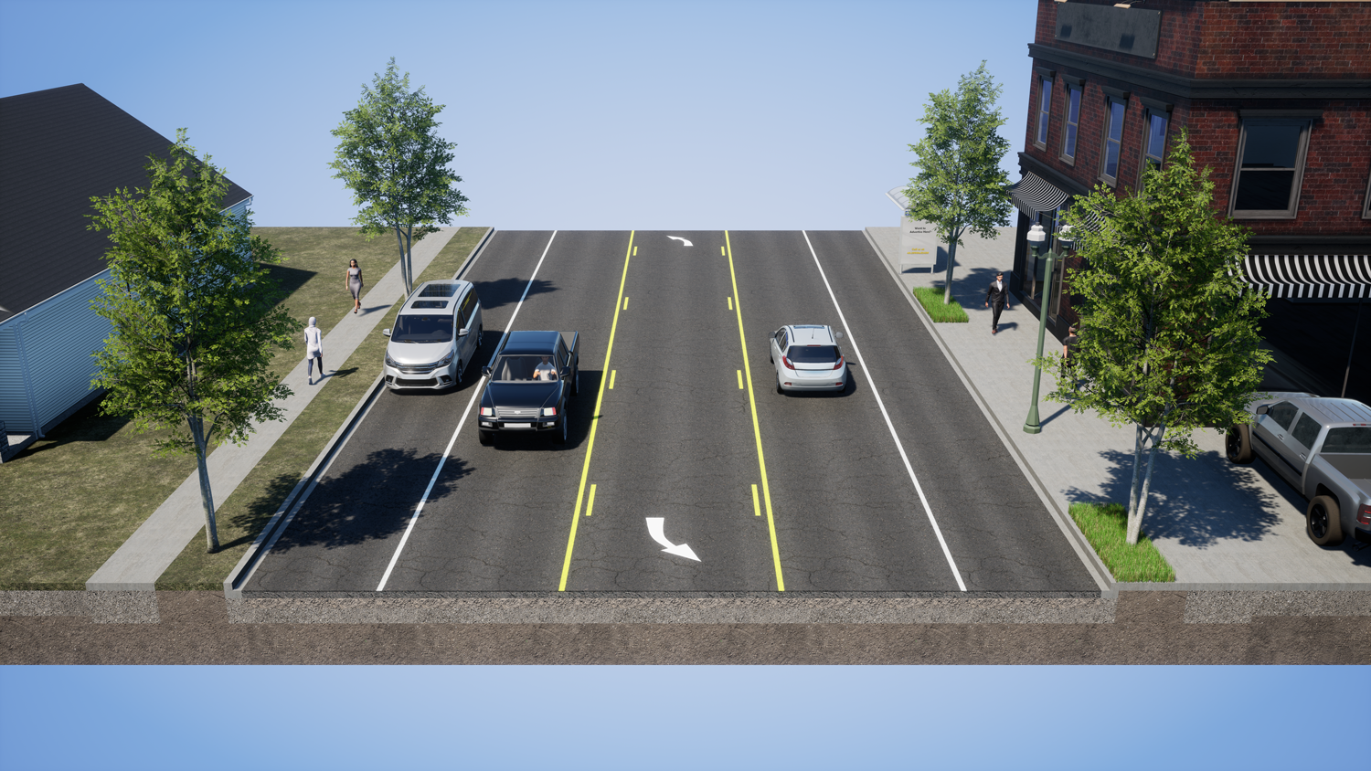
Four-lane example
Three-lane example