What is an Archaeological Predictive Model?
Phase 4 Survey Implementation Model
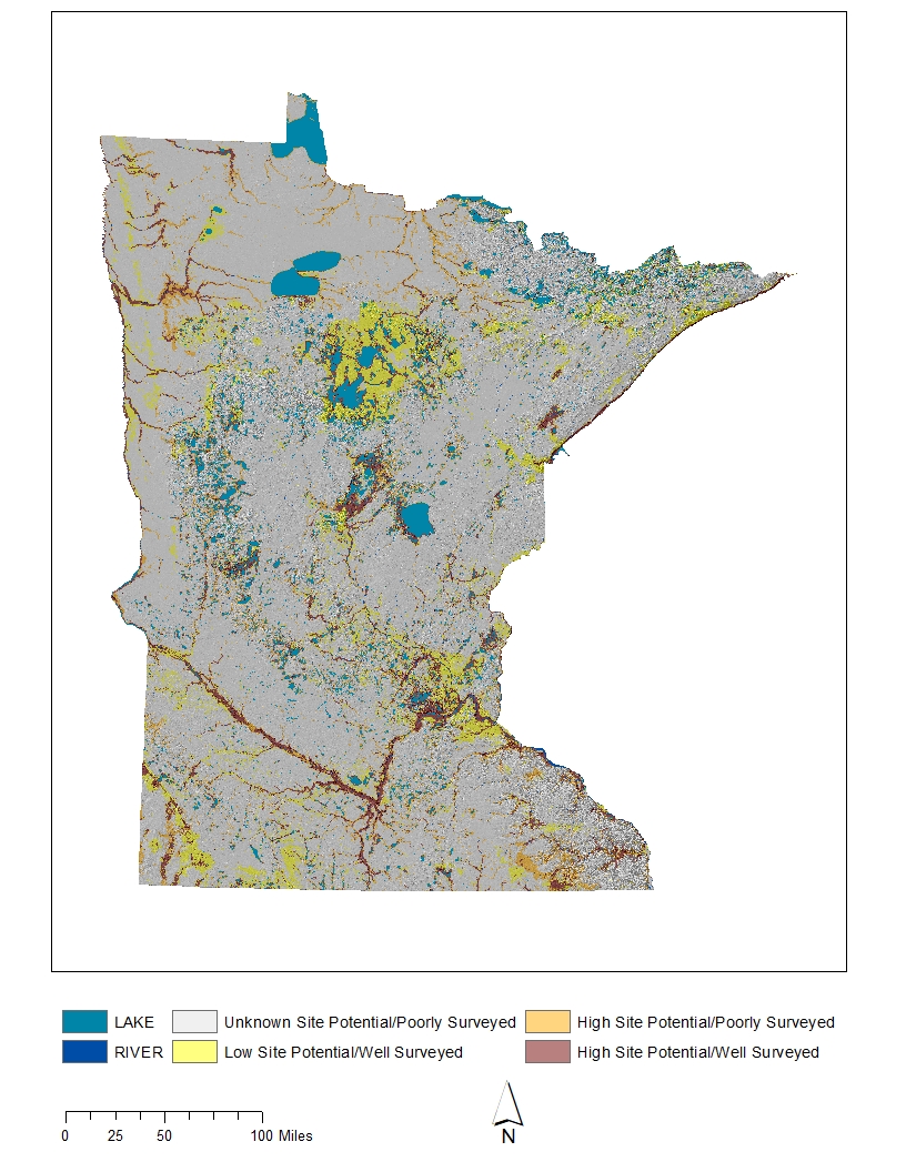
An archaeological predictive model is a tool that indicates the probability of encountering an archaeological site anywhere within a landscape. These are sometimes referred to as archaeological sensitivity maps because they indicate that some locations are more sensitive than others for cultural resources. These predictive maps usually contain three zones: a high sensitivity area where archaeological sites are most likely, a medium sensitivity area where sites are less likely, and a low sensitivity area where sites are unlikely. These maps are beneficial for transportation and land-use planning. If construction projects can be modified to avoid areas where archaeological sites are predicted to occur, the result is more cost-effective planning.
The dependability of these models is a function of their performance. This can be examined and tested by comparing a predictive model to archaeological field survey results. By comparing known archaeological site locations to the model's predictions, it is possible to determine, with specifiable confidence, how accurately a model performs. It is, in fact, this very approach that gives us confidence in a model and allows us to use it as a predictive tool. Field testing a model is an essential component of demonstrating its reliability.