Study complete
About this study
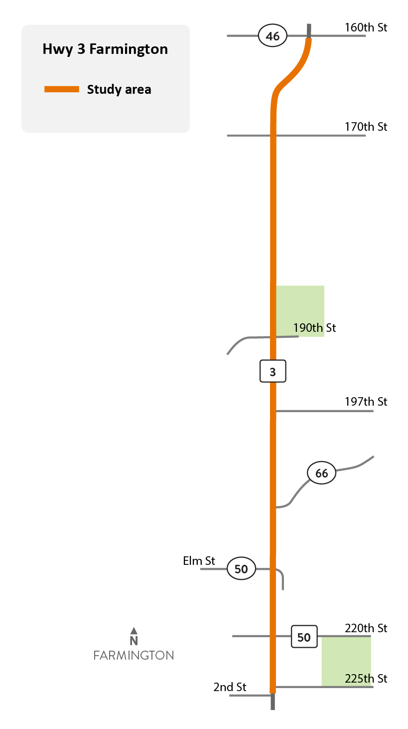
Hwy 3 study area map
The reason for this study was to serve as a guide for the city of Farmington, city of Empire (formerly known as Empire Township), Dakota County, MnDOT, landowners, and developers. The study looked at possible changes in access and ideas that could improve Hwy 3 and supporting roads in the future.
The area studied covers approximately six miles. It started at the intersection of Hwy 3 and Co. Rd. 46 (160th St.) and ended at the southern city limit of Farmington.
Background
This area was first studied in the 2004 Access Management Plan. Since then, improvements have been made to make the highway feel safer, and help the cities meet their planning goals. This update was needed because the original plan is 20 years old and there is a need to:
- Consider future city land use plans for Farmington and Empire as shown in their 2040 comprehensive plans
- Identify strategies to safely manage access to new developments
- Find road improvements that can improve safety, and mobility needs along and across Hwy 3
- Address safety needs related to speeding in Farmington
There was also a desire to include plans for pedestrians and bicyclists along and across Hwy 3 that were not considered in the 2004 plan.
This study also included information from several plans and studies done by the cities and county since the 2004 plan.
Summary of work
- Engaged, informed, gathered input, proposed and established ongoing project coordination meetings with all stakeholders including, local residents, businesses, commuters as well as State, Regional and Local agencies.