About this project
Summary of work
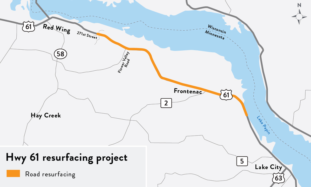
MnDOT resurfaced approximately 10 miles of Hwy 61 from Lake City to Red Wing. Rochester Sand and Gravel were selected as the contractor for this project. Construction started July 5 and was completed in November 2023. Improvements included the following:
- Resurfaced approximately 10 miles of Hwy 61 from Lake City to Red Wing
- Added two bypass lanes in both directions near Frontenac and nine turn lanes
- Turned the intersection at the western end of 296th St. into a cul-de-sac to accommodate the passing lane
- Realigned intersections to improve visibility
- Widened the road in multiple places to accommodate a bike lane
- Upgraded guardrails
- Completed bridge maintenance
- Updated pavement markings to improve safety for both pedestrians and motorists
- Installed eight new light poles at four intersections
Traffic impacts
Crews will continue to be onsite in November completing some minor work and cleanup.