About this project

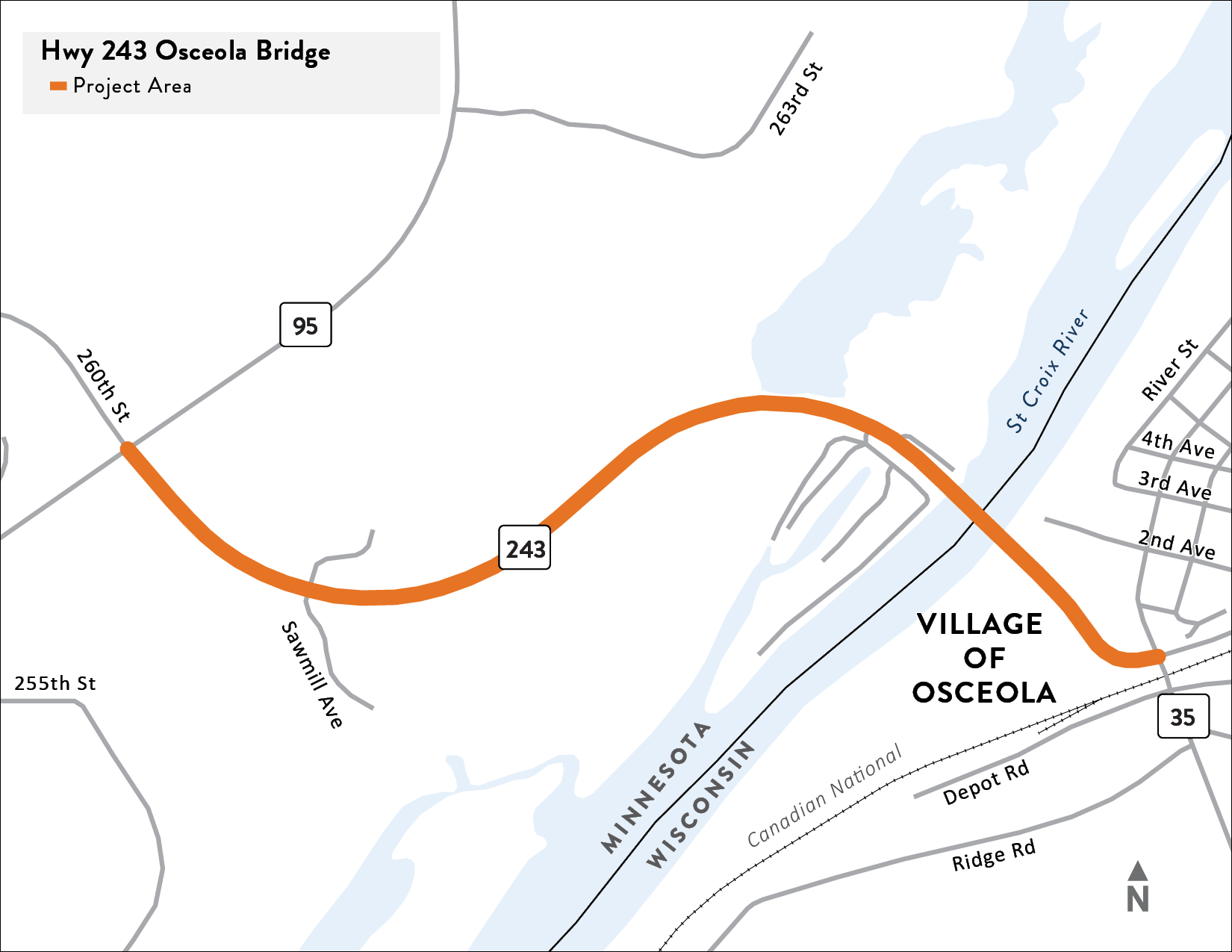
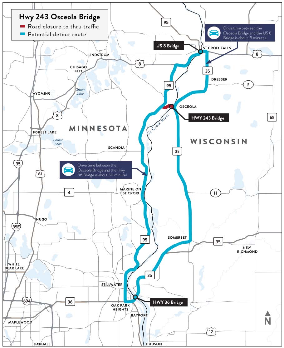
Hwy 243 project location map.
We are working in partnership with the Wisconsin Department of Transportation to replace the Hwy 243 Osceola Bridge over the St. Croix National and Scenic Riverway. The current bridge was built in 1953 and is scheduled to be replaced. MnDOT and WisDOT completed an evaluation of the bridge and its components and decided not to reuse any portion of the existing structure.
After three years of evaluating options and gathering input from government stakeholders and the public, the project team has chosen the current bridge location as the preferred site for the new bridge. Currently, we are studying what type of bridge should be built. The project team is working on the bridge design, finishing up the Visual Quality Manual and working to get the environmental approvals needed to rebuild the bridge. We expect to have renderings of what the bridge will look like and plans to present these renderings, along with an updated construction timeline at a future meeting in summer/fall 2024.
Summary of work
The purpose of this project is to maintain a reliable highway connection over the St. Croix River for Hwy 243 between Washington/Chisago counties in Minnesota and the Village of Osceola and Polk County in Wisconsin. The project team is working with federal, state, and local interests to minimize impacts to the St. Croix River and other natural resources in the area.
- Project needs:
- Address bridge conditions
- Evaluate pedestrian bridge crossing by foot and by bicycle
- Address drainage conditions
- Additional considerations:
- Bridge traffic during construction
- River navigation and access during construction
- Osceola Landing access
- Hwy 243 Wayside Rest on the Minnesota side of the river
- Hwy 243 Emergency Pull-off on the Wisconsin side of the river

